

Paintings, Prints & Drawings — C. 1753
A map of the most inhabited part of Virginia containing the whole province of Maryland
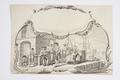
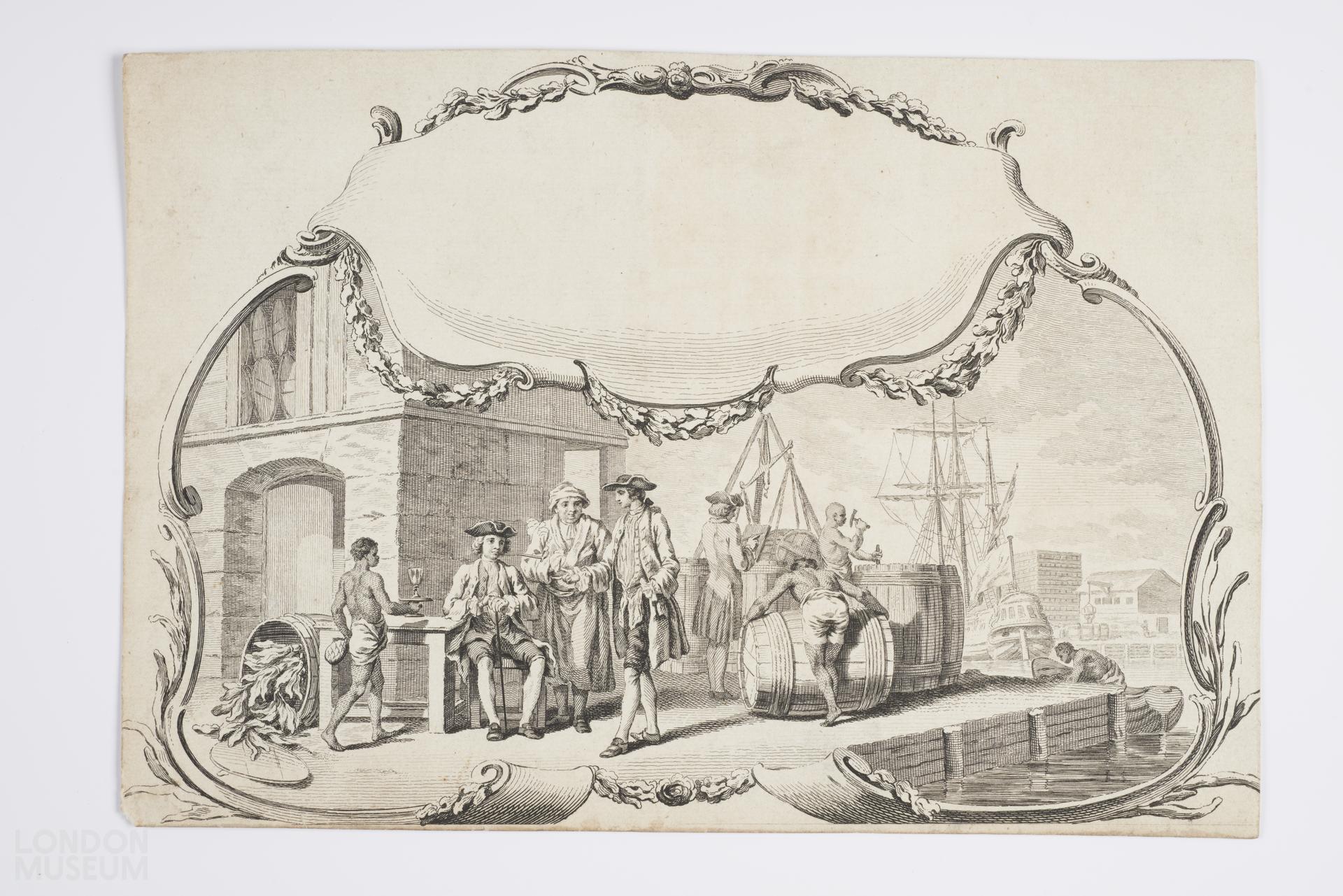
This image (engraved as the title cartouche of a mid-eighteenth century map of Virginia), depicts a tobacco warehouse and wharf in Virginia, North America. Three white men, presumably tobacco merchants or colonial administrators, are served drinks by a young enslaved African, while another white figure oversees enslaved African men who are packing, moving and loading barrels of tobacco leafs onto boats, ready to be shipped to Britain and Europe.
The engraving is one of the earliest printed images of the Virginia tobacco trade. It accompanied a map of Virginia and Maryland commissioned in 1751 by George Montagu Dunk, 2nd Earl of Halifax and the president of the Board of Trade and Plantations. The map, drawn by Joshua Fry and Peter Jefferson with Francis Hayman’s accompanying illustration, demonstrated British ownership of plantations in Virginia and mapped the colonial road system.
- Category:
- Paintings, Prints & Drawings
- Object ID:
- 2016.5
- Object name:
- A map of the most inhabited part of Virginia containing the whole province of Maryland
- Related people:
- Related events:
- Related places:
- Production date:
- c. 1753
- Material:
paper, ink
- Measurements/duration:
- H 180 mm, W 267 mm (paper)
- Part of:
- —
- On display:
- —
- Record quality:
- 60%
- Part of this object:
- —
- Owner Status & Credit:
Permanent collection
- Copyright holder:
digital image © London Museum
- Image credit:
- —
- Creative commons usage:
- CC BY-NC 4.0
- License this image:
To license this image for commercial use, please contact the London Museum Picture Library.
Tags
Download image file
You are welcome to download and use this image for free under Creative Commons Licence CC BY-NC 4.0.
Credit: London Museum
To licence this image for commercial use please contact the London Museum Picture Library