

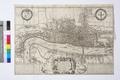
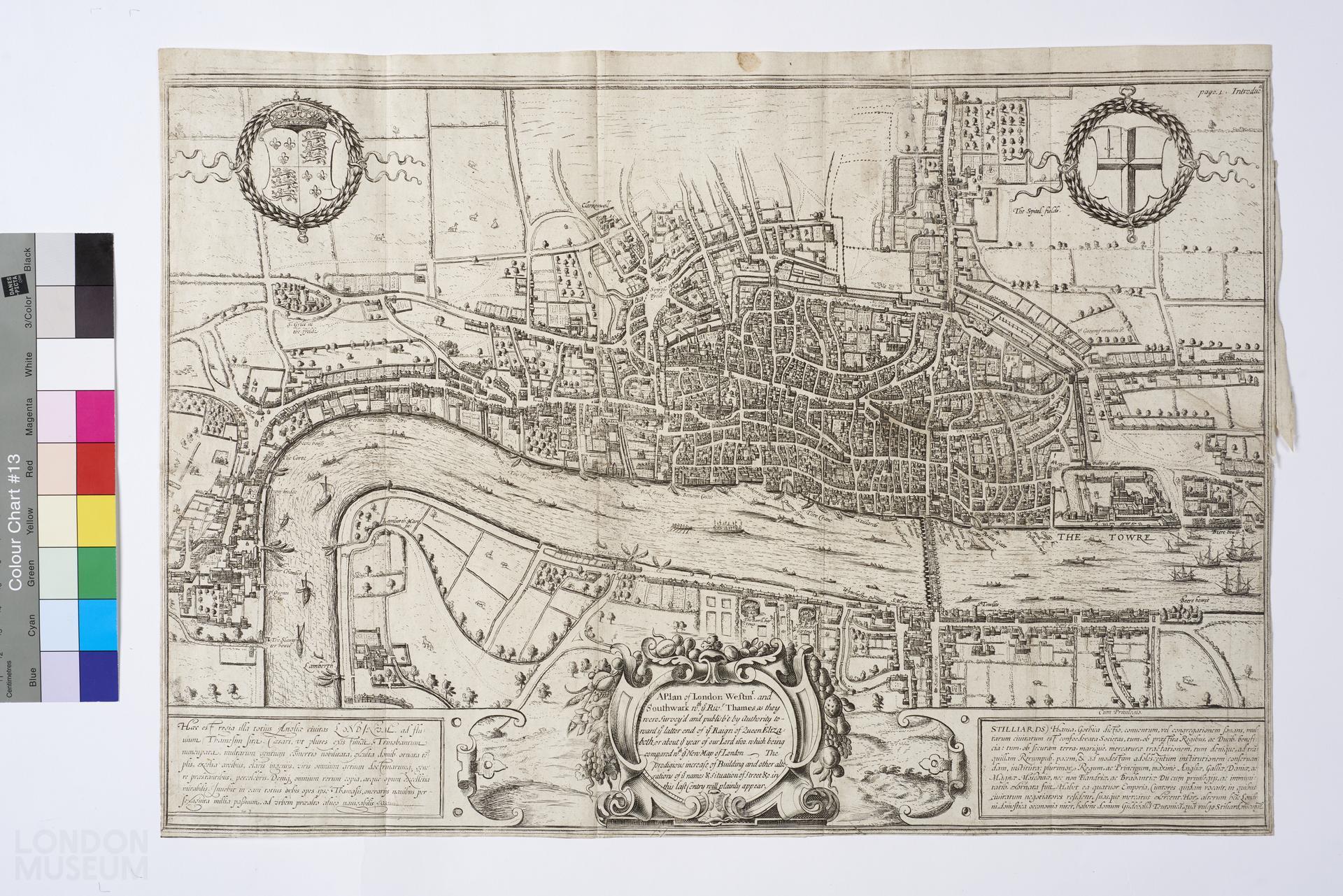
Library — 1600
A plan of London, Westminster and Southwark
Map, fourth edition of Braun and Hogenberg's map of 1572. The title has been lost, as has the group of four figures which has been replaced by the title 'A plan of London, Westminster and Southwark...'. Full descriptions reads: 'A plan of London, Westminster and Southwark with ye River thames, as they were survey'd and publishe't by authority toward ye latter end of ye Raign of Queen Elizabeth, or about ye year of our Lord 1600 which being compared with ye New Map of London. The prodigious increase of building and other alterations of ye names and situations of stree etc in this last centry will plainly appear'. This copy has a tear mid right hand section. Mounted on card. Darlington and Howgego 2(4).34 x
- Category:
- Library
- Object ID:
- 2007.46/5
- Object name:
- A plan of London, Westminster and Southwark
- Object type:
- Artist/Maker:
- Hogenberg, Frans
- Related people:
- Related events:
- Related places:
- Production date:
- 1600
- Material:
paper, ink
- Measurements/duration:
- H 344 mm, W 488 mm (map) (overall), H 393 mm, W 572 mm (card) (overall)
- Part of:
- —
- On display:
- —
- Record quality:
- 60%
- Part of this object:
- —
- Owner Status & Credit:
Permanent collection
- Copyright holder:
digital image © London Museum
- Image credit:
- —
- Creative commons usage:
- CC BY-NC 4.0
- License this image:
To license this image for commercial use, please contact the London Museum Picture Library.
Download image file
You are welcome to download and use this image for free under Creative Commons Licence CC BY-NC 4.0.
Credit: London Museum
To licence this image for commercial use please contact the London Museum Picture Library