
Library — 1560
Map
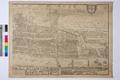
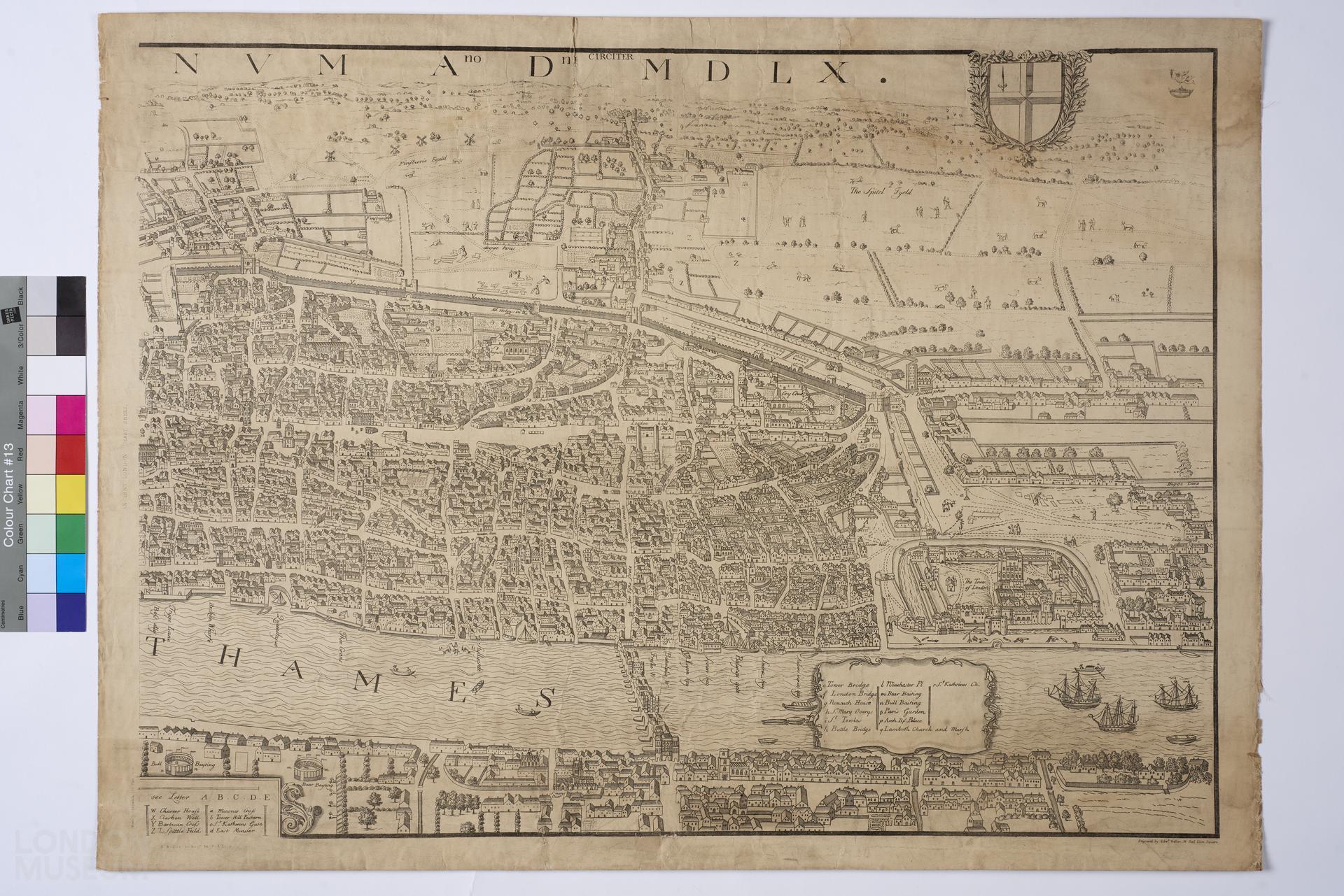
One half (Eastern half) of Ralph Aggas' map of London in the Reign of Queen Elisabeth, 1560, which includes Tower Bridge and The Tower. Notes on the left reads, 'Ancient London (East Sheet)'. Engraved by Edward Weller. F.R.G.S. Full map includes (a) Westminster, Charing Cross, and The Strand, and (b) Tower Bridge, The Tower.
- Category:
- Library
- Object ID:
- 80.331/1b
- Object name:
- map
- Object type:
- Artist/Maker:
- Weller, Edward
- Related people:
- Related events:
- Related places:
- Production date:
- 1560
- Material:
paper, ink, textile (unidentified)
- Measurements/duration:
- H 487 mm, W 662 mm (overall)
- Part of:
- —
- On display:
- —
- Record quality:
- 60%
- Part of this object:
- —
- Owner Status & Credit:
Permanent collection
- Copyright holder:
digital image © London Museum
- Image credit:
- —
- Creative commons usage:
- CC BY-NC 4.0
- License this image:
To license this image for commercial use, please contact the London Museum Picture Library.
Download image file
You are welcome to download and use this image for free under Creative Commons Licence CC BY-NC 4.0.
Credit: London Museum
To licence this image for commercial use please contact the London Museum Picture Library
Download image file
You are welcome to download and use this image for free under Creative Commons Licence CC BY-NC 4.0.
Credit: London Museum
To licence this image for commercial use please contact the London Museum Picture Library