
Library — 1871?
Bacon's Map of the Environs of London, 12 miles around Charing Cross
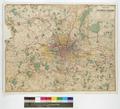
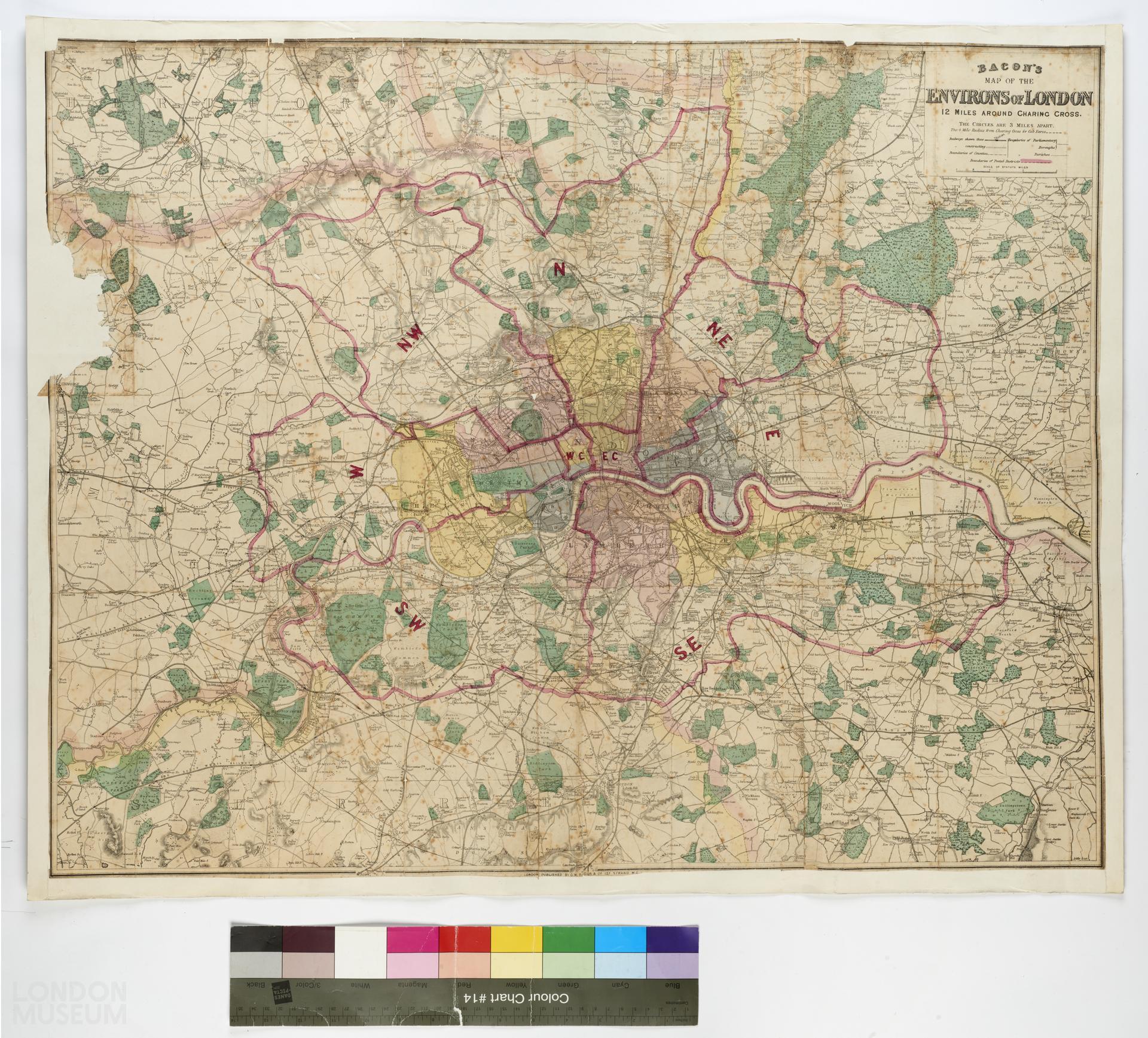
A map titled ‘Bacon's Map of the Environ of London, 12 miles around Charing Cross’, published by G. W. Bacon & Co, at Strand, WC, London, probably in 1871. Appears to be third edition (1st edition 1869). Shows railways and boundaries of counties, Parliamentary boroughs, parishes and postal districts. Scale 1'':1 mile. Extent: Potters Bar, Dartford, Caterham and Uxbridge. Parks and woods highlighted in green, boundaries of postal districts in red.
- Category:
- Library
- Object ID:
- 68.121/2
- Object name:
- Bacon's Map of the Environs of London, 12 miles around Charing Cross
- Object type:
- Artist/Maker:
- Bacon, George Washington
- Related people:
- Related events:
- Related places:
- Production date:
- 1871?
- Material:
paper, ink, linen
- Measurements/duration:
- H 666 mm, W 833 mm (overall)
- Part of:
- —
- On display:
- —
- Record quality:
- 60%
- Part of this object:
- —
- Owner Status & Credit:
Permanent collection
- Copyright holder:
Bacon, George Washington
- Image credit:
- —
- Creative commons usage:
- CC BY-NC 4.0
- License this image:
To license this image for commercial use, please contact the London Museum Picture Library.
Download image file
You are welcome to download and use this image for free under Creative Commons Licence CC BY-NC 4.0.
Credit: London Museum
To licence this image for commercial use please contact the London Museum Picture Library