Library — 1860-1862
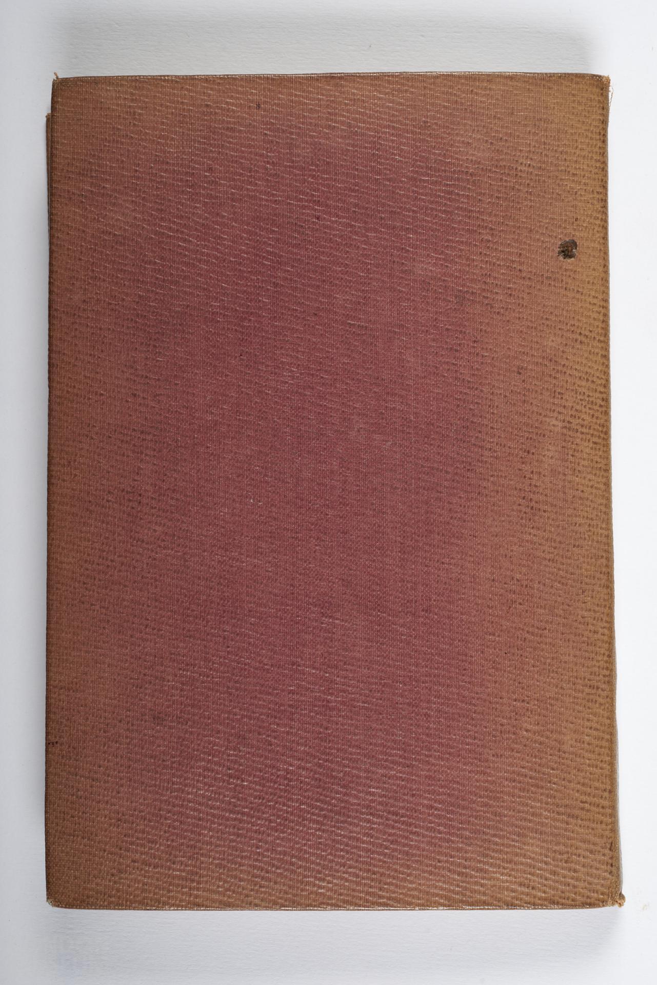
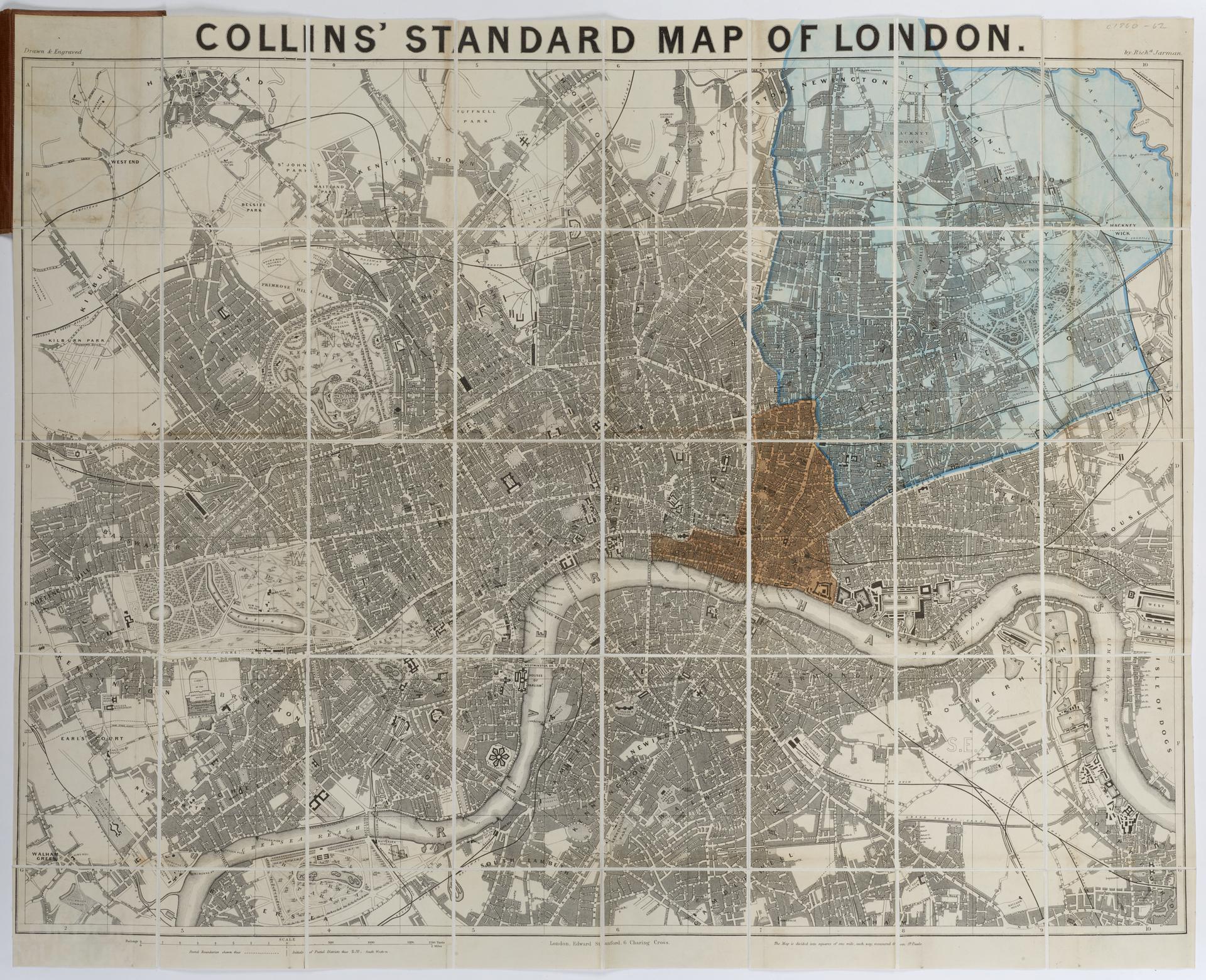
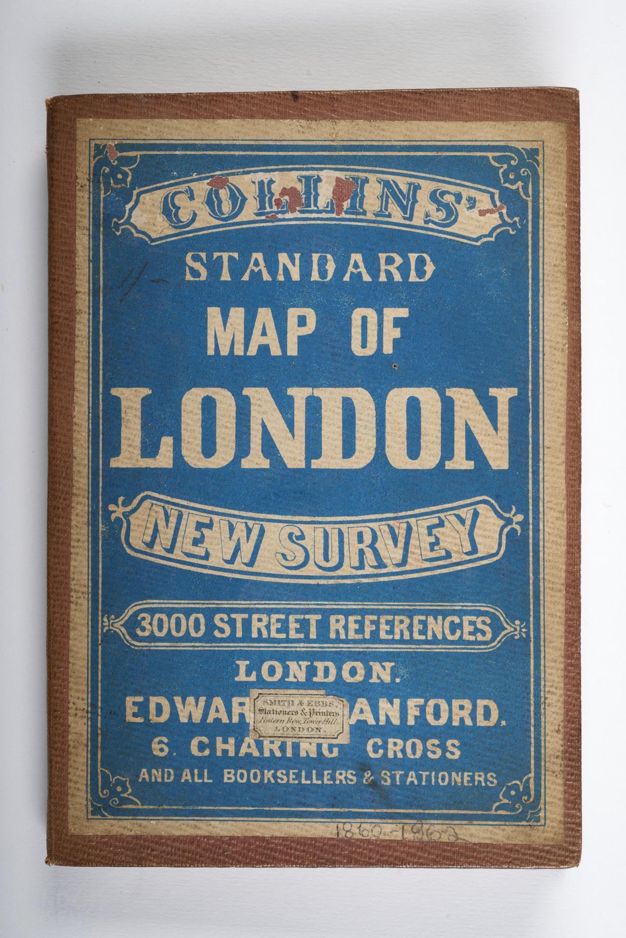
Collins' standard map of London
Register entry: "Collins' Standard Map of London", circa 1860-1862. Extent: Notting Hill - Hackney Marsh, Hampstead - Battersea Park. Scale: 97 millimetres (3.825 inches) to 1 mile. Size: 829 millimetres by 613 millimetres. Published: Edward Stanford, 6 Charing Cross. Dissected and mounted on linen to fold between boards, 110 millimetres by 161 millimetres. Includes 9 leaves of index. Includes Victoria Station, opened 1860; excludes Lambeth Bridge, opened 1862.
- Category:
- Library
- Object ID:
- 71.9/2
- Object name:
- Collins' standard map of London
- Object type:
- Artist/Maker:
- —
- Related people:
- Related events:
- Related places:
- Production date:
- 1860-1862
- Material:
- Measurements/duration:
- —
- Part of:
- —
- On display:
- —
- Record quality:
- 60%
- Part of this object:
- —
- Owner Status & Credit:
Permanent collection
- Copyright holder:
digital image © London Museum
- Image credit:
- —
- Creative commons usage:
- CC BY-NC 4.0
- License this image:
To license this image for commercial use, please contact the London Museum Picture Library.
Download image file
You are welcome to download and use this image for free under Creative Commons Licence CC BY-NC 4.0.
Credit: London Museum
To licence this image for commercial use please contact the London Museum Picture Library
Download image file
You are welcome to download and use this image for free under Creative Commons Licence CC BY-NC 4.0.
Credit: London Museum
To licence this image for commercial use please contact the London Museum Picture Library
Download image file
You are welcome to download and use this image for free under Creative Commons Licence CC BY-NC 4.0.
Credit: London Museum
To licence this image for commercial use please contact the London Museum Picture Library