
Library — 1845
THE RAILWAY BELL AND ILLUSTRATED LONDON ADVERTISER MAP OF LONDON
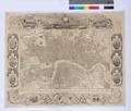
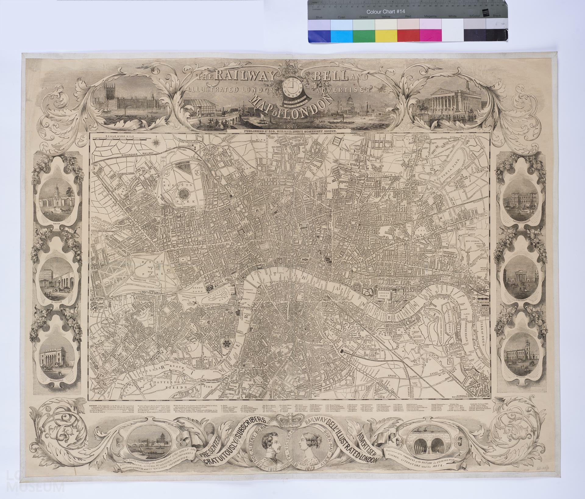
Map of London, 1845, published by the Railway Bell and Illustrated London Advertiser, by George Biggs. Second edition (first edition 1842, see 56.81). Title and engravings of public buildings in cartouches of swirling leaves and swags of fruit. Title top centre; portraits of Queen Victoria and Prince Albert bottom centre. Extent: Pentonville, West India Docks, Grand Surrey Canal and Kensington Palace.
- Category:
- Library
- Object ID:
- 48.25/1
- Object name:
- THE RAILWAY BELL AND ILLUSTRATED LONDON ADVERTISER MAP OF LONDON
- Object type:
- Artist/Maker:
- Biggs, George
- Related people:
- Related events:
- Related places:
- Production date:
- 1845
- Material:
paper, ink, linen
- Measurements/duration:
- H 756 mm, 953 mm (overall)
- Part of:
- —
- On display:
- —
- Record quality:
- 60%
- Part of this object:
- —
- Owner Status & Credit:
Permanent collection
- Copyright holder:
digital image © London Museum
- Image credit:
- —
- Creative commons usage:
- CC BY-NC 4.0
- License this image:
To license this image for commercial use, please contact the London Museum Picture Library.
Download image file
You are welcome to download and use this image for free under Creative Commons Licence CC BY-NC 4.0.
Credit: London Museum
To licence this image for commercial use please contact the London Museum Picture Library