

Library — 1856
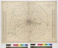
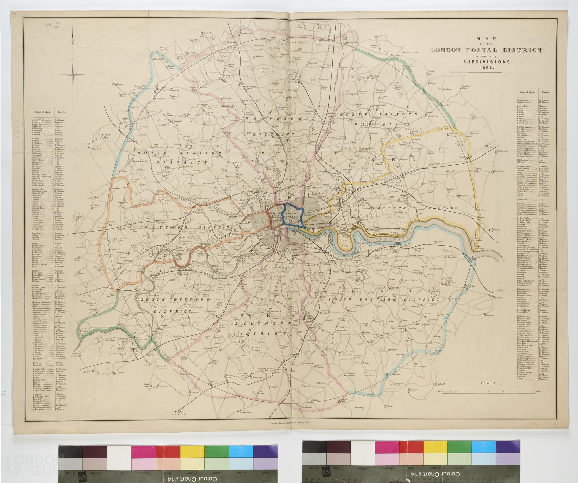
Map of the London Postal District with its subdivisions 1856
A map titled ‘'Map of the London Postal District with its subdivisions 1856’, produced by Edward Stanford, located at Charing Cross, London. Includes table of places with their postal codes. Circle of 12 mile radius based on G.P.O., districts divided in different coloured boundaries. Extent: Potters Bar, Wennington, Epsom and Hatton.
- Category:
- Library
- Object ID:
- 37.90
- Object name:
- Map of the London Postal District with its subdivisions 1856
- Object type:
- Artist/Maker:
- Stanford, Edward
- Related people:
- Related events:
- Related places:
- Production date:
- 1856
- Material:
paper, ink, linen
- Measurements/duration:
- H 685 mm, W 905 mm (overall)
- Part of:
- —
- On display:
- —
- Record quality:
- 60%
- Part of this object:
- —
- Owner Status & Credit:
Permanent collection
- Copyright holder:
digital image © London Museum
- Image credit:
- —
- Creative commons usage:
- CC BY-NC 4.0
- License this image:
To license this image for commercial use, please contact the London Museum Picture Library.
Download image file
You are welcome to download and use this image for free under Creative Commons Licence CC BY-NC 4.0.
Credit: London Museum
To licence this image for commercial use please contact the London Museum Picture Library