
Library — C. 1720
A New and Correct Map of Thirty Miles Round London Shewing all the Towns, Villages, Roads &c with the Seats of the Nobility & Gentry
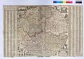
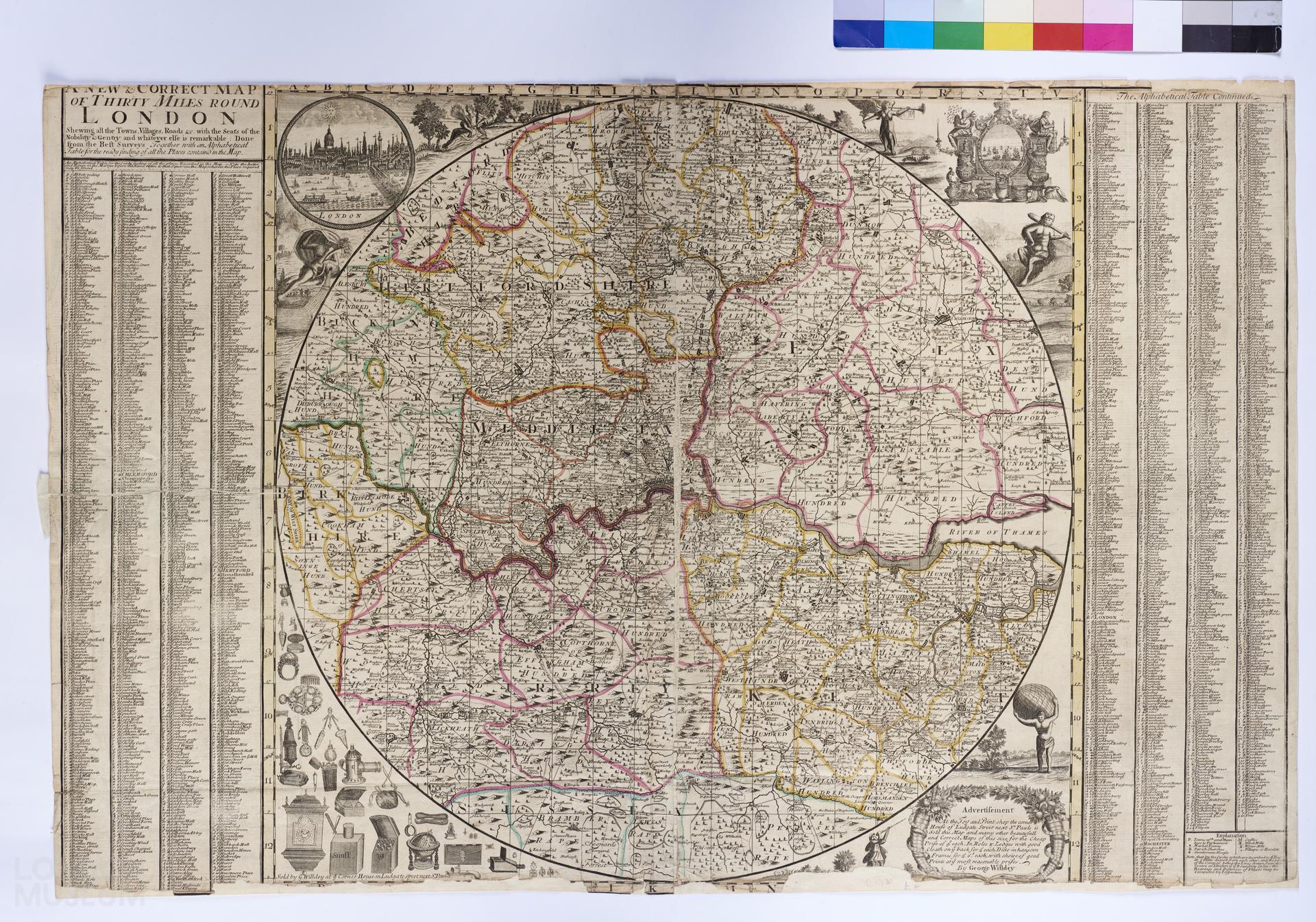
A map of 30 miles around London showing all the towns, villages and roads, c. 1720, sold by George Willdey. First edition. Title: 'A New and Correct Map of Thirty Miles Round London Shewing all the Towns, Villages, Roads &c with the Seats of the Nobility & Gentry & Whatever Else is Remarkable: Done from the Best Surveys Together with an Alphabetical Table for the Ready Finding of all the Places Contain'd in the Map'. Large circular map within rectangular border; on the either side there is a large, alphabetical key to the place names. The four corners around the circular section contain a picture of London; a picture of ships set in a cartouche with figures representing industry and a man in an animal skin with a club; an advertisement for Willdey's shop; and pictures of objects sold in Willdey's shop.
- Category:
- Library
- Object ID:
- 77.130/55
- Object name:
- A New and Correct Map of Thirty Miles Round London Shewing all the Towns, Villages, Roads &c with the Seats of the Nobility & Gentry
- Object type:
- Artist/Maker:
- Willdey, George
- Related people:
- Related events:
- Related places:
- Production date:
- c. 1720
- Material:
paper, ink
- Measurements/duration:
- H 638 mm, W 986 mm (overall)
- Part of:
- —
- On display:
- —
- Record quality:
- 60%
- Part of this object:
- —
- Owner Status & Credit:
Permanent collection
- Copyright holder:
digital image © London Museum
- Image credit:
- —
- Creative commons usage:
- CC BY-NC 4.0
- License this image:
To license this image for commercial use, please contact the London Museum Picture Library.
Download image file
You are welcome to download and use this image for free under Creative Commons Licence CC BY-NC 4.0.
Credit: London Museum
To licence this image for commercial use please contact the London Museum Picture Library