
Library — 1802
Plan
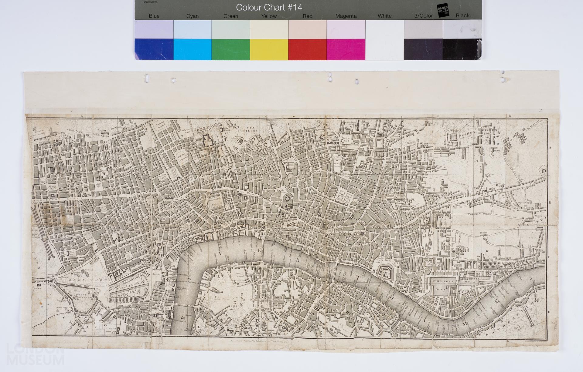
A plan of London published on 1st January, 1802 by R. Philips located at No. 1, St. Pauls Church Yard. No title. The plan illustrates the City of London, east to Mile End, south to Southwark, west to Oxford Street and north to Spa Fields. Notes printed at bottom right corner reads, ‘Jones & Smith sc. Pentonville’.
- Category:
- Library
- Object ID:
- 32.186/2
- Object name:
- plan
- Object type:
- Artist/Maker:
- Phillips, Richard
- Related people:
- Related events:
- Related places:
- Production date:
- 1802
- Material:
paper, ink, textile (unidentified)
- Measurements/duration:
- H 248 mm, W 549 mm (map), H 288 mm, W 553 mm (with suspension strip) (overall)
- Part of:
- —
- On display:
- —
- Record quality:
- 60%
- Part of this object:
- —
- Owner Status & Credit:
Permanent collection
- Copyright holder:
digital image © London Museum
- Image credit:
- —
- Creative commons usage:
- CC BY-NC 4.0
- License this image:
To license this image for commercial use, please contact the London Museum Picture Library.
Download image file
You are welcome to download and use this image for free under Creative Commons Licence CC BY-NC 4.0.
Credit: London Museum
To licence this image for commercial use please contact the London Museum Picture Library