

Library — 1777
A new and accurate map of the country twenty-five miles round London
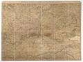
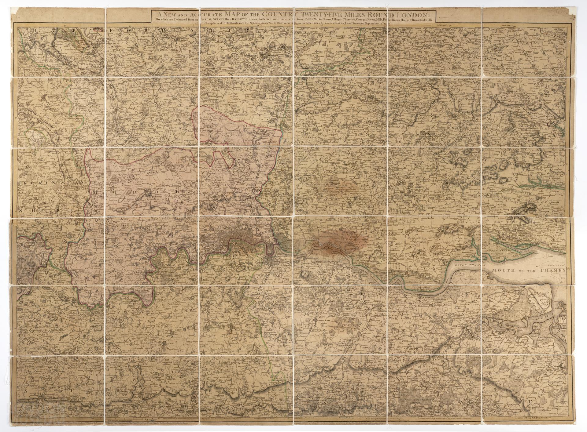
Map of London and environs, twenty-five miles round, by John Andrews and Andrew Dury, 1777. Title: 'A new and accurate map of the country twenty-five miles round London: on which are delineated from and actual survey his Majesty's palaces, noblemen and gentlemen's seats, cities, market, villages, churches, cottages, rivers, mills, parks, woods, heaths and remarkable hills'. Extent: Welwyn, Rochford, Dorking and Beaconsfield. Surveyed by John Andrews and published by Andrews and Dury at Dukes Court, St Martins Lane. Sold by Andrews at Mr Blissets, No 29 Long Acre; by Dury at Dukes Court, St Martins Lane; by William Faden (?) on the corner of St Martins Lane; by John Hand at No 409 Oxford Street.
- Category:
- Library
- Object ID:
- 32.139/2
- Object name:
- A new and accurate map of the country twenty-five miles round London
- Object type:
- Artist/Maker:
- Andrews, John, Dury, Andrew
- Related people:
- Related events:
- Related places:
- Production date:
- 1777
- Material:
linen, paper, ink
- Measurements/duration:
- 138 cm x 103 cm
- Part of:
- —
- On display:
- —
- Record quality:
- 60%
- Part of this object:
- —
- Owner Status & Credit:
Permanent collection
- Copyright holder:
digital image © London Museum
- Image credit:
- —
- Creative commons usage:
- CC BY-NC 4.0
- License this image:
To license this image for commercial use, please contact the London Museum Picture Library.
Download image file
You are welcome to download and use this image for free under Creative Commons Licence CC BY-NC 4.0.
Credit: London Museum
To licence this image for commercial use please contact the London Museum Picture Library