

Library — 1810
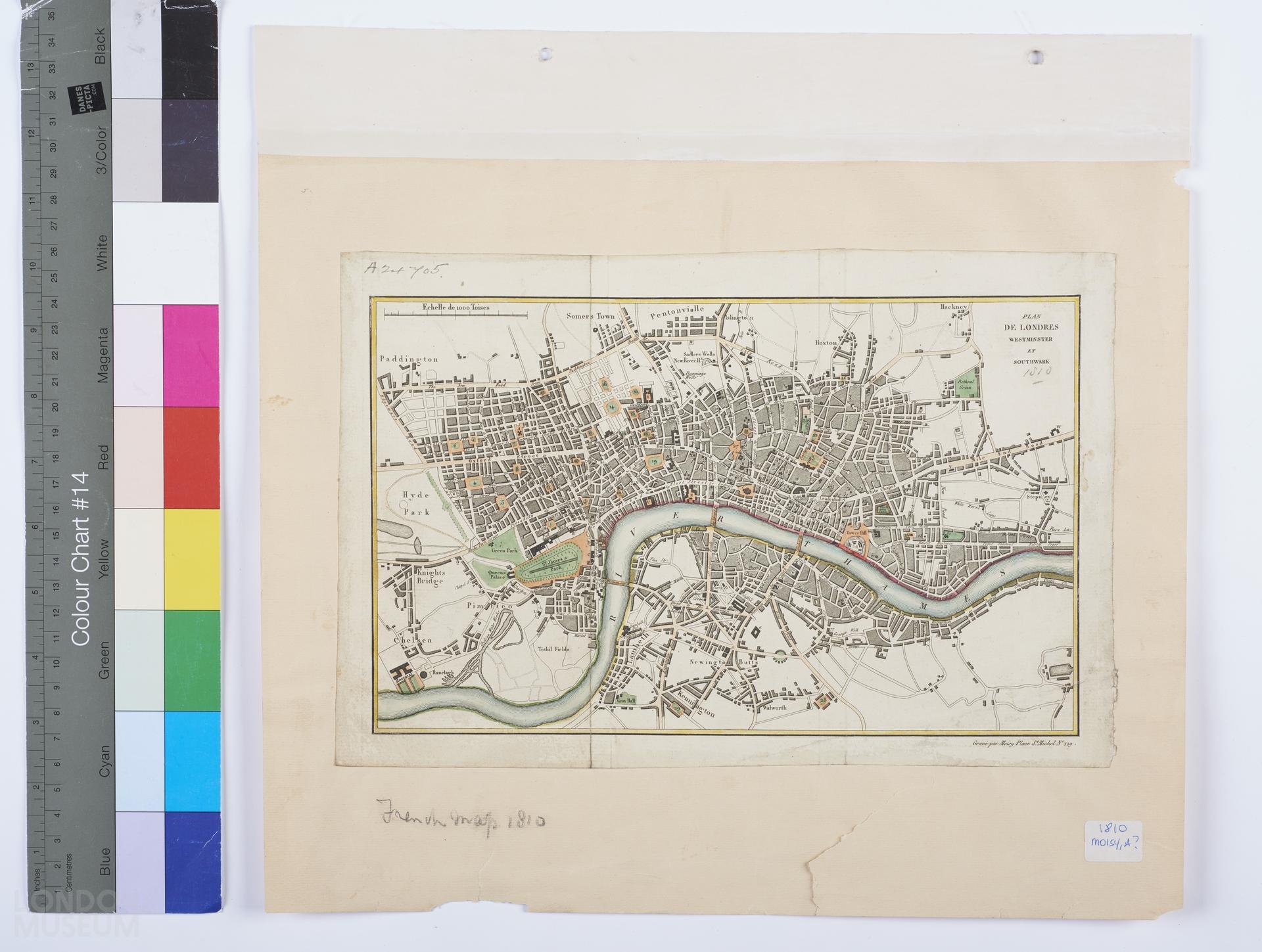
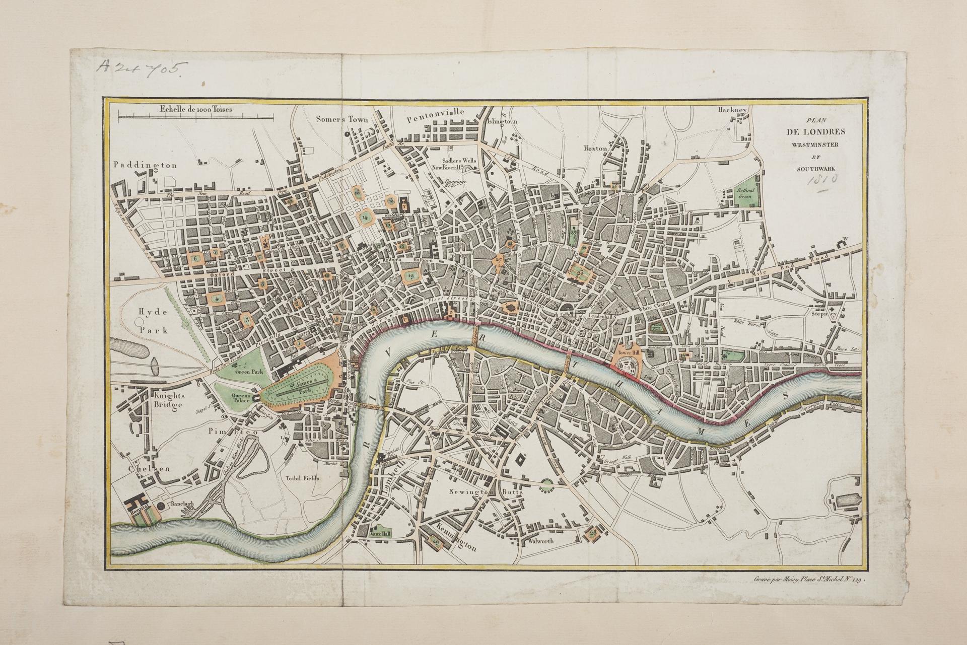
PLAN DE LONDRES, WESTMINSTER ET SOUTHWARK
Map of London, Westminster and Southwark by Alexandre (?) Moisy, 1810. Some colour. Title: 'PLAN DE LONDRES, WESTMINSTER ET SOUTHWARK'. Extent: Pentonville, Ratcliff Cross, Walworth and Hyde Park. Frontispiece to 'Description de Londres et de ses edifices...' by J.B. Barjaud and C.P. Landon, 1810. On the bottom right "Gravé par Moisy, Place St.Michel, N. 129".
- Category:
- Library
- Object ID:
- A24705
- Object name:
- PLAN DE LONDRES, WESTMINSTER ET SOUTHWARK
- Object type:
- Artist/Maker:
- Moisy, Alexandre?
- Related people:
- Related events:
- Related places:
- Production date:
- 1810
- Material:
paper, ink
- Measurements/duration:
- H 199 mm, W 299 mm (map only) (overall)
- Part of:
- —
- On display:
- —
- Record quality:
- 60%
- Part of this object:
- —
- Owner Status & Credit:
Permanent collection
- Copyright holder:
digital image © London Museum
- Image credit:
- —
- Creative commons usage:
- CC BY-NC 4.0
- License this image:
To license this image for commercial use, please contact the London Museum Picture Library.
Download image file
You are welcome to download and use this image for free under Creative Commons Licence CC BY-NC 4.0.
Credit: London Museum
To licence this image for commercial use please contact the London Museum Picture Library
Download image file
You are welcome to download and use this image for free under Creative Commons Licence CC BY-NC 4.0.
Credit: London Museum
To licence this image for commercial use please contact the London Museum Picture Library