

Library — 1738
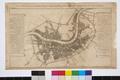
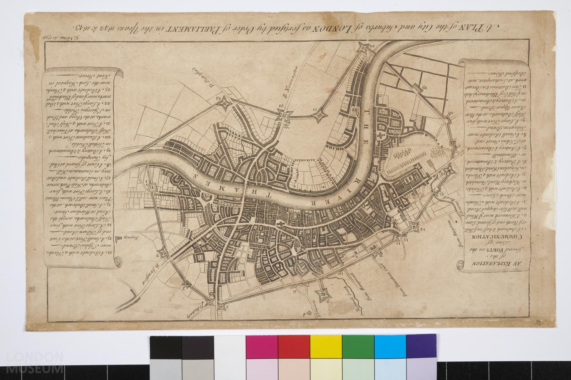
Plan of the City and Suburbs of London as fortified by Order of Parliament in the years 1642 & 1643
Map of London titled 'A Plan of the City and Suburbs of London as fortified by Order of Parliament in the Years 1642 & 1643', comprising areas like Whitechapel, Shoreditch and Hackney. The map illustrates the position of forts on the line of communication. Produced by G. Vertue Sc., 1738,
- Category:
- Library
- Object ID:
- A6500
- Object name:
- Plan of the City and Suburbs of London as fortified by Order of Parliament in the years 1642 & 1643
- Object type:
- Artist/Maker:
- Vertue, George
- Related people:
- Related events:
- Related places:
- Production date:
- 1738
- Material:
paper, ink
- Measurements/duration:
- H 224 mm, W 375 mm (overall)
- Part of:
- —
- On display:
- —
- Record quality:
- 60%
- Part of this object:
- —
- Owner Status & Credit:
Permanent collection
- Copyright holder:
digital image © London Museum
- Image credit:
- —
- Creative commons usage:
- CC BY-NC 4.0
- License this image:
To license this image for commercial use, please contact the London Museum Picture Library.
Download image file
You are welcome to download and use this image for free under Creative Commons Licence CC BY-NC 4.0.
Credit: London Museum
To licence this image for commercial use please contact the London Museum Picture Library