
Library — 1707
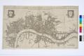
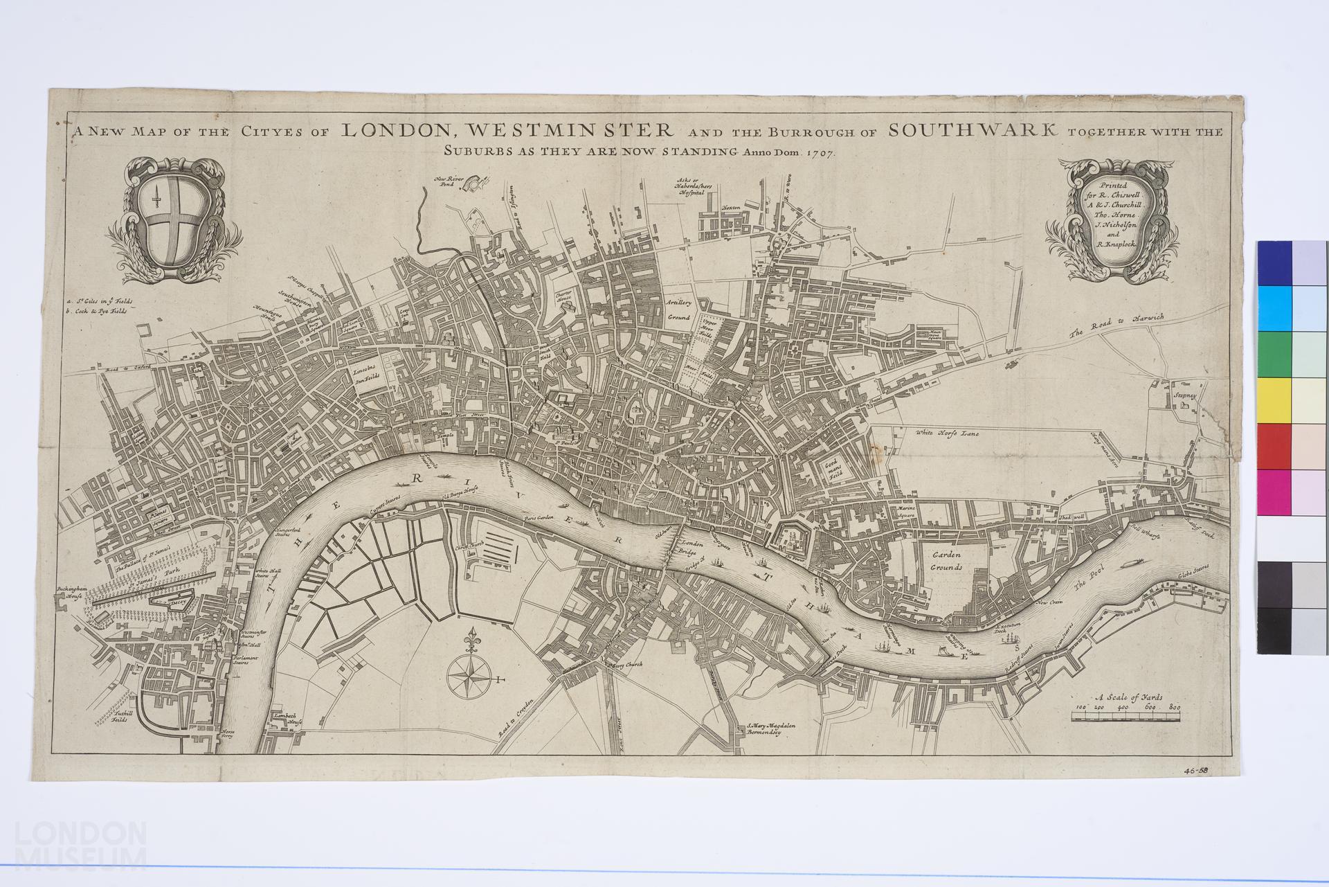
A New Map of the Cityes of London, Westminster and the Burrough of Southwark together with the Suburbs as they are now standing Anno Dom 1707
'A New Map of the Cityes of London, Westminster and the Burrough of Southwark together with the Suburbs as they are now standing Anno Dom 1707'. Cartouche with publishers' names, 'Printed for R. Chiswell, A. & J. Churchill, Tho. Horne, J. Nicholson and R. Knaplock'. Cartouche with City arms. Scale about an inch to 400 yards. 22.5" x 12" (Grace Catalogue, P. 15, no. 79). In 'A new view of London' by Edward Hatton, Vol.1.
- Category:
- Library
- Object ID:
- 46.58
- Object name:
- A New Map of the Cityes of London, Westminster and the Burrough of Southwark together with the Suburbs as they are now standing Anno Dom 1707
- Object type:
- Artist/Maker:
- Chiswell, R., Churchill, A., Churchill, J., Horne, Thomas, Nicholson, J., Knaplock, R.
- Related people:
- Related events:
- Related places:
- Production date:
- 1707
- Material:
paper, ink
- Measurements/duration:
- H 339 mm, W 588 mm (overall)
- Part of:
- —
- On display:
- —
- Record quality:
- 60%
- Part of this object:
- —
- Owner Status & Credit:
Permanent collection
- Copyright holder:
digital image © London Museum
- Image credit:
- —
- Creative commons usage:
- CC BY-NC 4.0
- License this image:
To license this image for commercial use, please contact the London Museum Picture Library.
Download image file
You are welcome to download and use this image for free under Creative Commons Licence CC BY-NC 4.0.
Credit: London Museum
To licence this image for commercial use please contact the London Museum Picture Library